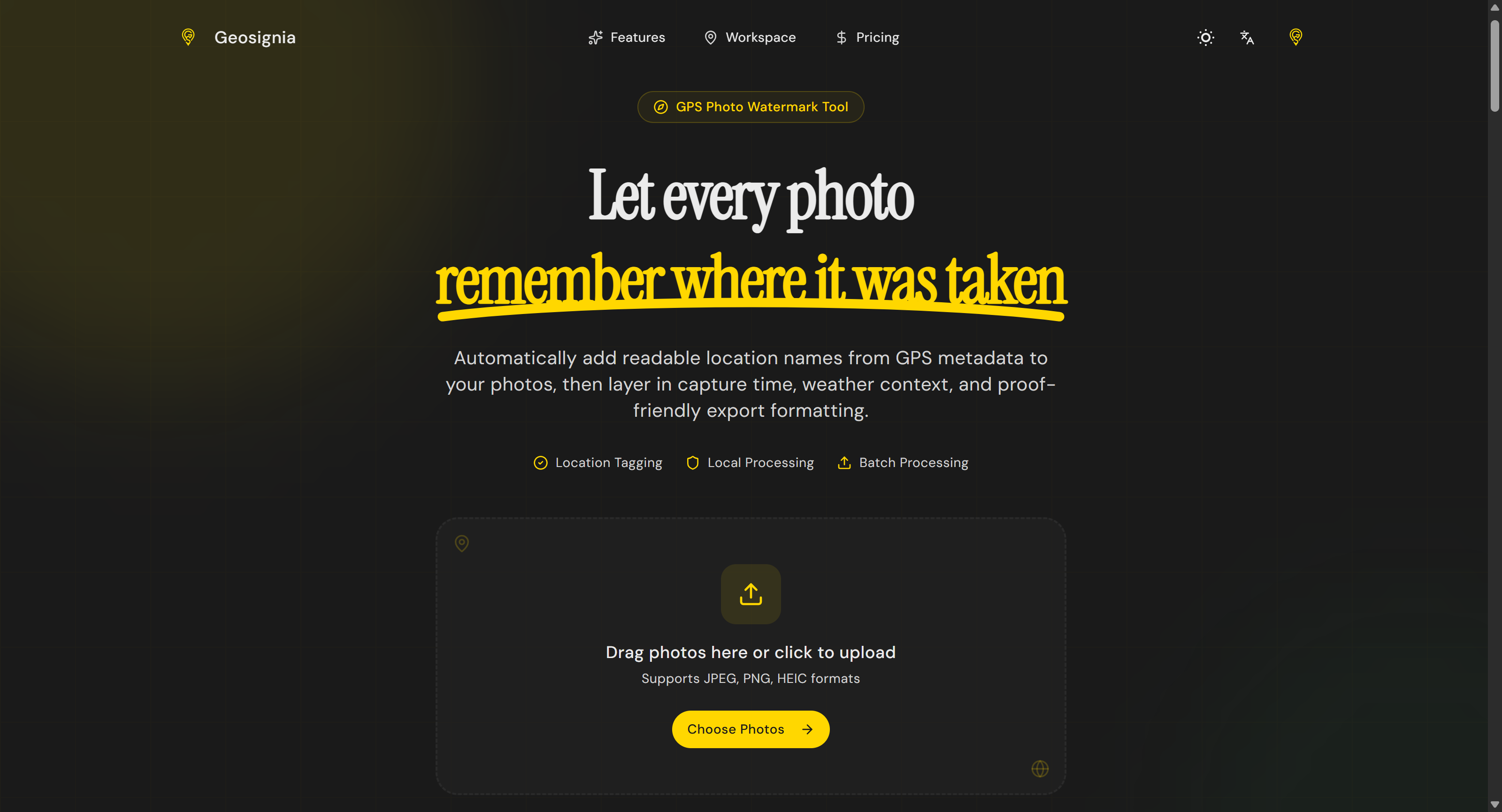
What is Geosignia?
Core Features
- GPS metadata extraction
- Human-readable location names
- Flexible watermark formatting
Pricing Model
Ideal For
Use Geosignia as an Alternative to
Detailed Description
Geosignia represents a sophisticated approach to location intelligence and spatial data visualization, designed to transform raw geographic information into clear, actionable insights. At its core, Geosignia is a platform built for professionals who need to understand the 'where' and 'why' behind their data. It moves beyond simple mapping to offer a dynamic environment where complex datasets are integrated, analyzed, and presented through intuitive visual interfaces. This empowers organizations to identify patterns, optimize operations, and make strategic decisions rooted in concrete spatial evidence.
The platform's strength lies in its ability to handle diverse data layers, from demographic statistics and infrastructure networks to real-time sensor feeds and environmental variables. Users can create custom visualizations, generate detailed reports, and share interactive dashboards that tell a compelling geographic story. Whether assessing market potential, managing logistical routes, or monitoring asset distribution, Geosignia provides the contextual framework necessary for a deeper understanding.
Why Choose Geosignia
✨ Advanced Spatial Analytics: Leverage powerful geocomputational tools to perform proximity analysis, heat mapping, and territory optimization directly within the platform.
🎯 Customizable Visualization Engine: Create tailored maps and dashboards with a wide range of symbols, color schemes, and labeling options to match specific project or branding needs.
🔗 Seamless Data Integration: Connect to various data sources, including spreadsheets, databases, and cloud APIs, to maintain a centralized, always-updated geographic repository.
🌐 Interactive Collaboration: Share live maps and dashboards with team members or stakeholders, enabling collaborative exploration and decision-making based on a single source of truth.
Geosignia is engineered for clarity in a complex world, turning disparate location data into a coherent strategic asset. It is the definitive tool for businesses, analysts, and planners who require precision and depth in their geographic intelligence.
Discover the power of spatial intelligence with Geosignia.

AMA with Maker (0)